Water Crossing
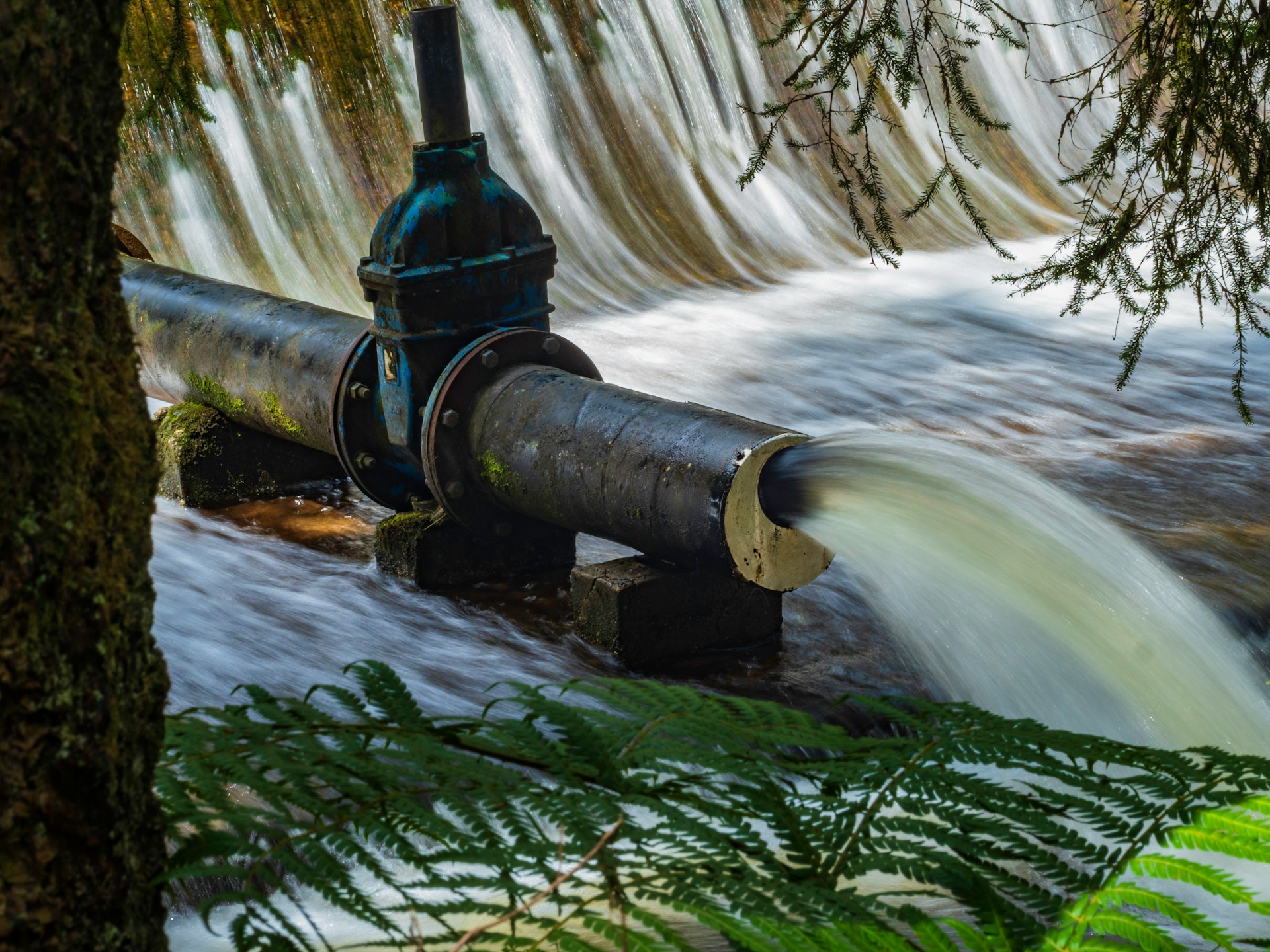
Pipeline geospatial positioning where pipelines cross waterways, such as rivers, lakes, and canals, is crucial for energy operators, especially if the water is used as a source of drinking water. Monitoring pipeline movements in these situations is proactive in preventing pipeline failure and water contamination.
Key Challenges
Water crossings are critical points of concern for pipeline operators, presenting a unique set of challenges that demand specialized attention. Ensuring the safety and reliability of pipelines in these areas requires overcoming several technical and operational hurdles.
- Depth of Cover: Accurately measuring the soil and sediment above pipelines.
- Erosion and Shifting Sediments: Natural processes can reduce the depth of cover.
- Monitoring Systems: Reliable systems are needed to provide accurate depth of cover data to identify and mitigate risks.
- Operational Complexity: Inspections often require divers and boats, which are resource-intensive, pose safety risks, and can yield low-quality data.
Innovative Solution
Skipper NDT’s innovative drone-based technology provides precise and accurate positioning of pipelines under water crossings. This efficient, simple-logistics solution helps operators meet regulatory and operational integrity requirements, addressing critical data gaps with several key advantages:
- Comprehensive Mapping: Accurate X, Y, Z coordinates and depth of cover (DoC) of the pipeline centerline
- Seamless Integration: Integration with third-party data (photogrammetry, bathymetric surveys)
- Advanced Output Formats: Data in multiple GIS formats suitable for integration into client-side systems
- Customizable Data Density: Tailored to meet client needs
- Enhanced Environmental Insights: Information on the ferromagnetic environment

Site Feasibility
Assess location condition in terms of: right of way width and vegetation status, access to the Cathodic Protection system, flight authorizations
Automatic Drone-Based Inspection
Flight plan is pre-defined to ensure maximum data collection efficiency based on topography. The drone will automatically follow a precise trajectory.
Data post Processing & Exploration
Once the data collection is complete, proprietary and patented protocols and algorithms are used to filter potential interference. Magnetic maps and analytical signals are generated to be processed using our algorithms
Magnetic Inversion, Optimization Algorithms
Creation of georeferenced positioning (X, Y, Z) of buried pipelines including details of its immediate environments (presence of adjacent structures, nearby metallic objects). Format is adapted to the client’s GIS format for seamless integration.
Third Party Data Integration
Incorporation of potential third party data such as Bathymetry, Photogrammetry or Lidar to build an interactive and user friendly digital twin.


