DOC Assessment
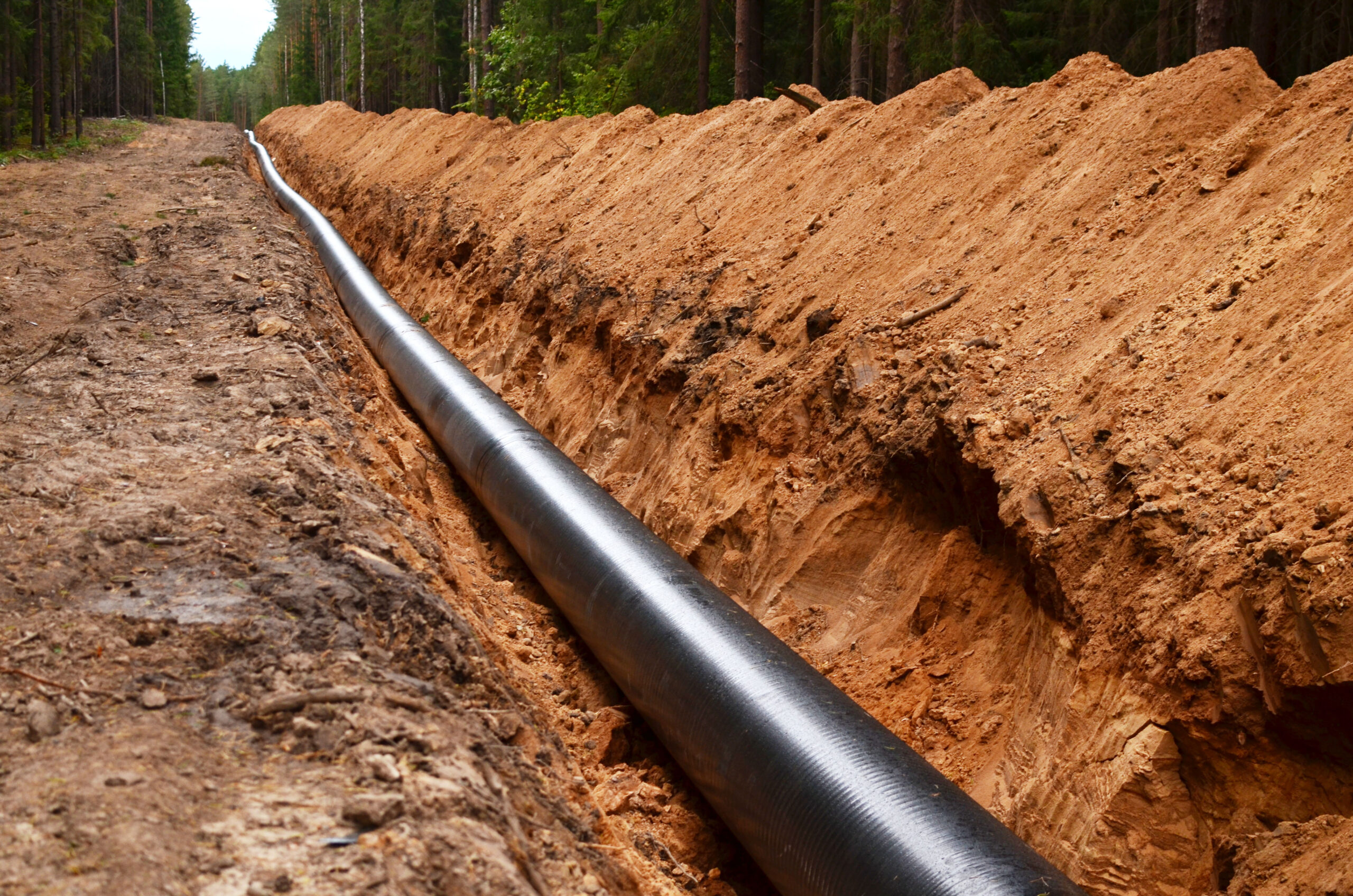
Pipeline depth of cover is the first line of defence against third-party interference. Monitoring DOC is a critical component of pipeline integrity programs. This proactive measure helps pipeline operators ensure the safety, reliability, and sustainability of their infrastructure.
Key Challenges
Monitoring pipeline depth of cover is essential for safety, compliance, and operational integrity. Challenges include:
- Dynamic Landscapes: Detect changes from erosion, weather, and human activities for timely corrective action.
- Construction and Excavation: Monitor high-activity areas to prevent accidental pipeline damage and ensure safety.
- Data Integration: Skipper NDT technology ensures accurate, up-to-date data for effective pipeline monitoring.
- Reporting: Robust systems ensure precise documentation for compliance audits.

Innovative Solution
Skipper NDT’s drone-based aerial magnetometry technology meets oil and gas operators’ needs for precise pipeline depth data. Key features include:
- Safety: Inspects pipelines without damage, maintaining integrity while gathering essential data.
- Precision: Provides centimetric accurate XYZ measurements, with <1 foot/ 30 cm precision for 90% of data, ensuring safety during excavation and maintenance.
- Efficiency: Collects data at a pace of 1 2 miles/2 km per day over large areas, enhancing operational efficiency without disrupting activities.
- Regulatory Compliance: Adopted by oil and gas operators to comply with French/North American regulatory requirements for accurate pipeline records and management systems.
- Cost Reduction: Reduces inspection and maintenance costs with quick, non-invasive, accurate data collection.

Site Feasibility
Assess locations for current conditions: right-of-way status, precise positioning, vegetation coverage, access points, and accessibility to a Cathodic Protection system (CP).
Automatic Drone-Based Inspection
Next, we mark inspection area boundaries and map above-ground markers for thorough coverage. Drones follow precise trajectories, capturing detailed data accurately and efficiently.
Data Post Processing & Exploration
After data collection, we calibrate for accuracy, filter and interpolate to enhance reliability. We then generate magnetic maps and analytic signals to provide comprehensive insights for informed decision-making.
Magnetic Inversion, Optimization Algorithms
Create georeferenced magnetic maps of buried pipelines, detail magnetic environment (parallel pipelines, nearby metallic objects). Provide pre-inspection reports, including XYZ mapping upon request.
Third Party Data Integration
Incorporate third party/photogrammetric surveys, build user-friendly 3D models merging diverse datasets, and establish an interactive platform with layered data for client interaction and analysis.
Assessment and Selection
Provide a final inspection report containing actionable recommendations. Offer information on the magnetic environment adjacent to or along the pipeline to the client.


