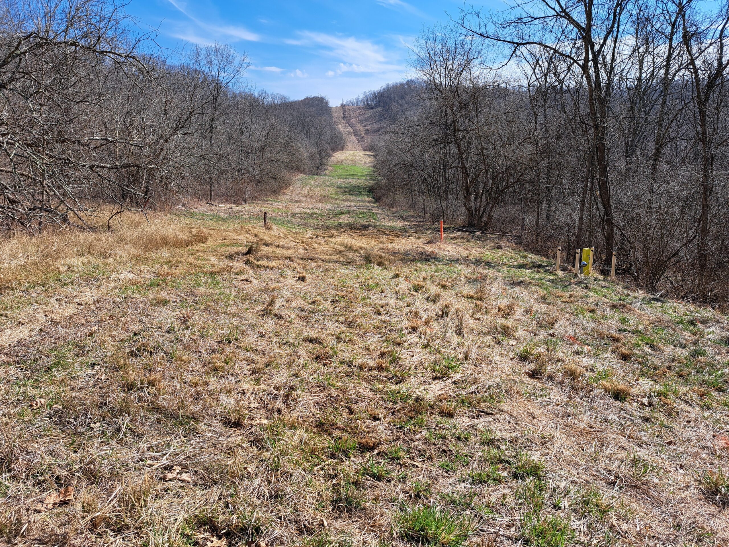
The Drone based solution is ideal for automated geo-referenced mapping. Following and adapting to the terrain in real time, this solution is ideal for river crossings and inaccessible terrains.
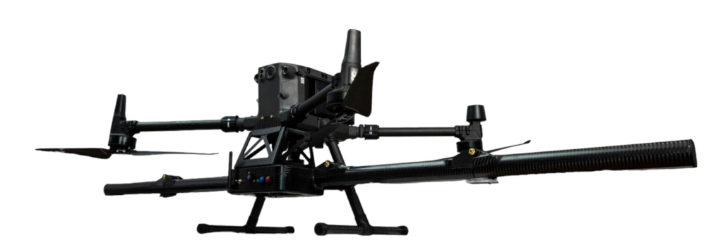
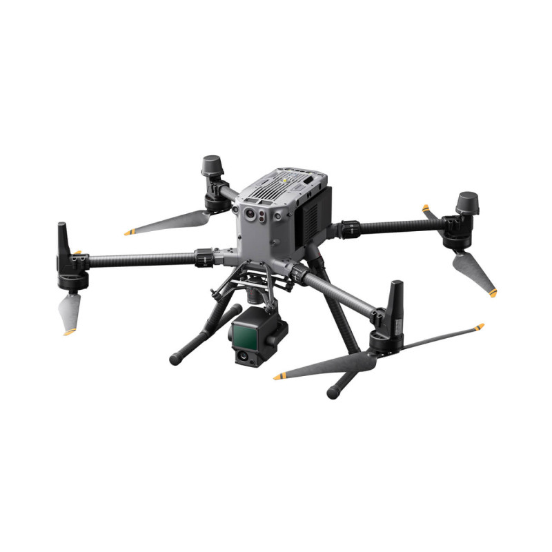
Drone of choice
Skipper NDT uses the industry standard, the DJI M350 RTK fully equipped drone. It boasts an autonomy of 35 minutes of flight and allows us to inspect up to 1.5 miles of pipeline.
Our payload can otherwise equip any standard commercial drone.
Magnetometers
3-axis Fluxgates with 150pT resolution
2000 Hz sampling rate
Allows calibration/compensation process
IMU
Inertial measuring unit used to measure acceleration, angular velocity and orientation.
Allows post-processing corrections
Distance sensor
24 GHz radar sensor used for
real time terrain following.
Allows the generation of a digital elevation model.