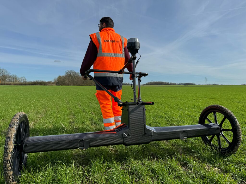
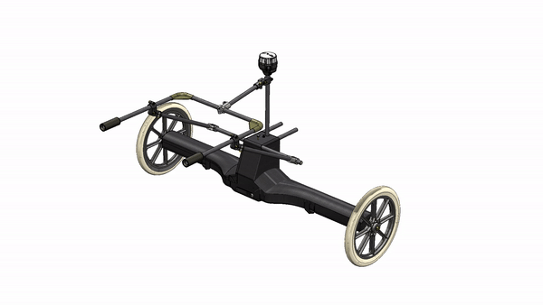
Atlas is the integration of the Argos payload on a landbased vector. It allows to perform high precision magnetic measurements when drone flight is not possible or prohibited. It also enables ressources without a drone licence to perform field acquisition when needed.
Atlas
The robust enclosure is designed to perform surveys on terrains with dense vegetation and on fly-restricted zones. It is equipped with a high precision GNSS and IMU and a battery that could last up to 20hrs for a full day of inspections.
Skipper NDT Atlas presentation
Magnetometers
3-axis Fluxgates with 150pT resolution
2000 Hz sampling rate
Allows calibration/compensation process
IMU
Inertial measuring unit used to measure acceleration, angular velocity and orientation.
Allows post-processing corrections
Distance sensor
24 GHz radar sensor used for
real time terrain following.
Allows the generation of a digital elevation model.